|
||
|
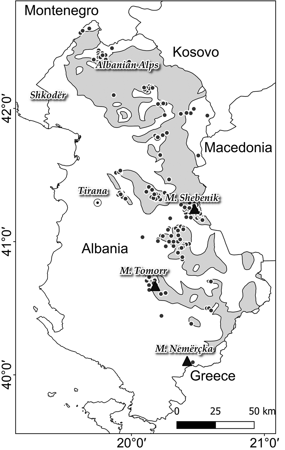
Study area. The black dots represent the relevés used in the analysis and the grey polygons represent the area of Fagus sylvatica forests according the Vegetation Map of Europe (Bohn et al. 2000, 2004). |
|
||||||||
| Part of: Fanelli G, Hoda P, Mersinllari M, Mahmutaj E, Attorre F, Farcomeni A, Cambria VE, De Sanctis M (2020) Phytosociological overview of the Fagus and Corylus forests in Albania. Vegetation Classification and Survey 1: 175-189. https://doi.org/10.3897/VCS/2020/54942 |