|
||
|
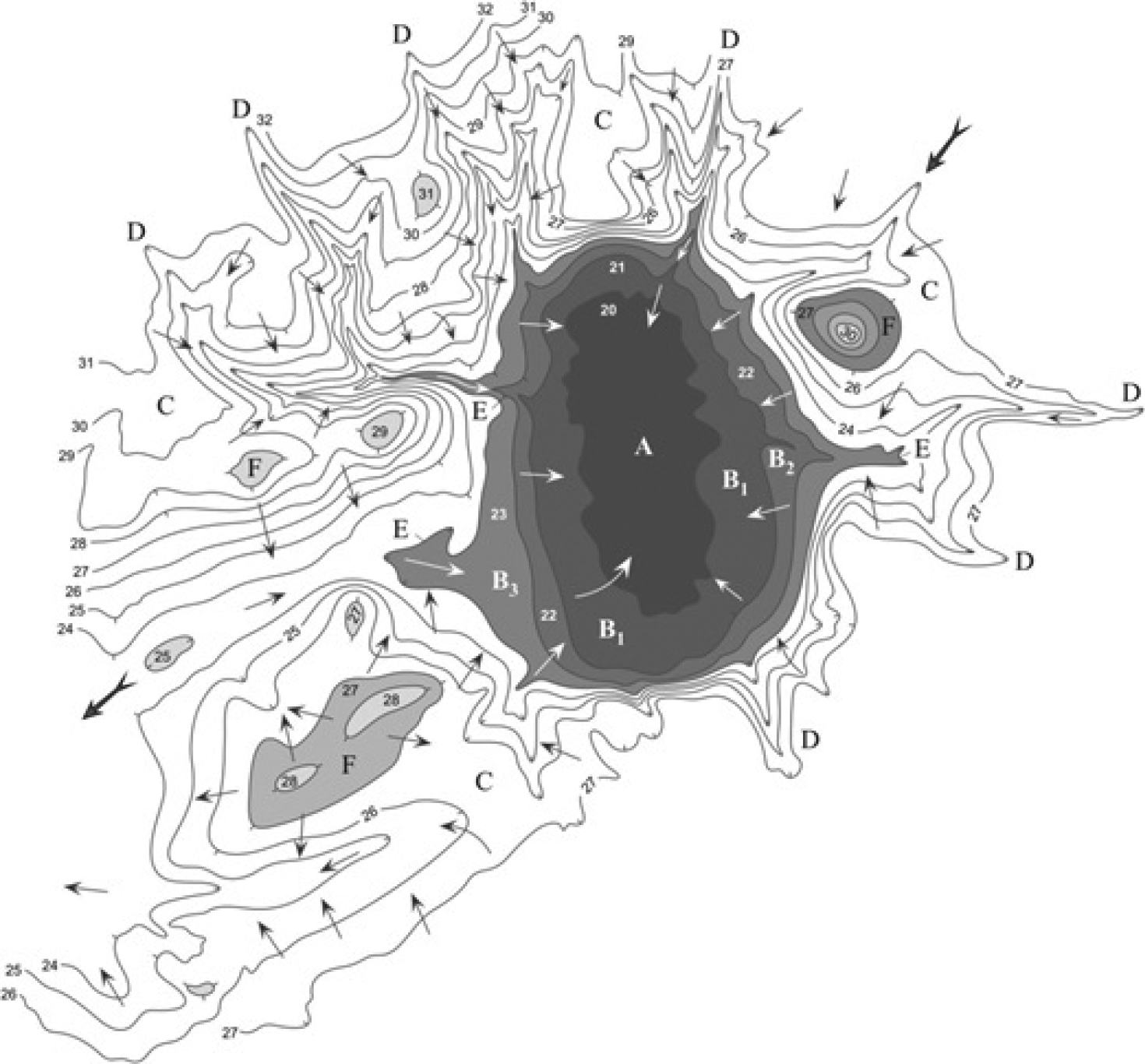
Relief of the hydrographic network of the basin of the Great Chapelsky pid, fragment (Shapoval and Zvegintsov 2010). A: bottom, B1–B3: closed slopes of depression, B: general slopes with indented watershed hollows (D), C: ravine estuaries, F: plakor (slightly convex or almost flat elevated area); 20–32: altitudes; arrows indicate direction of the runoff (bold arrows: general regional runoff). |