|
||
|
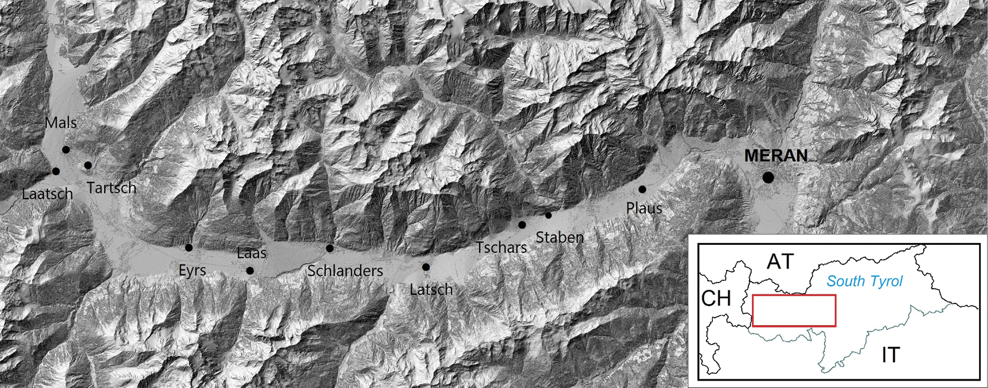
The investigated study area in the Vinschgau (South Tyrol, Italy) at the south-facing slopes from Mals and Laatsch to Plaus, spanning a length of approximately 40 km (Source: Office for Geology and Building Materials Testing of the Autonomous Province of Bolzano and ISPRA (big map); Eurostat (https://ec.europa.eu/eurostat/web/gisco/geodata/reference-data/administrative-units-statistical-units) EuroGeographics for the administrative boundaries (small map)). |