|
||
|
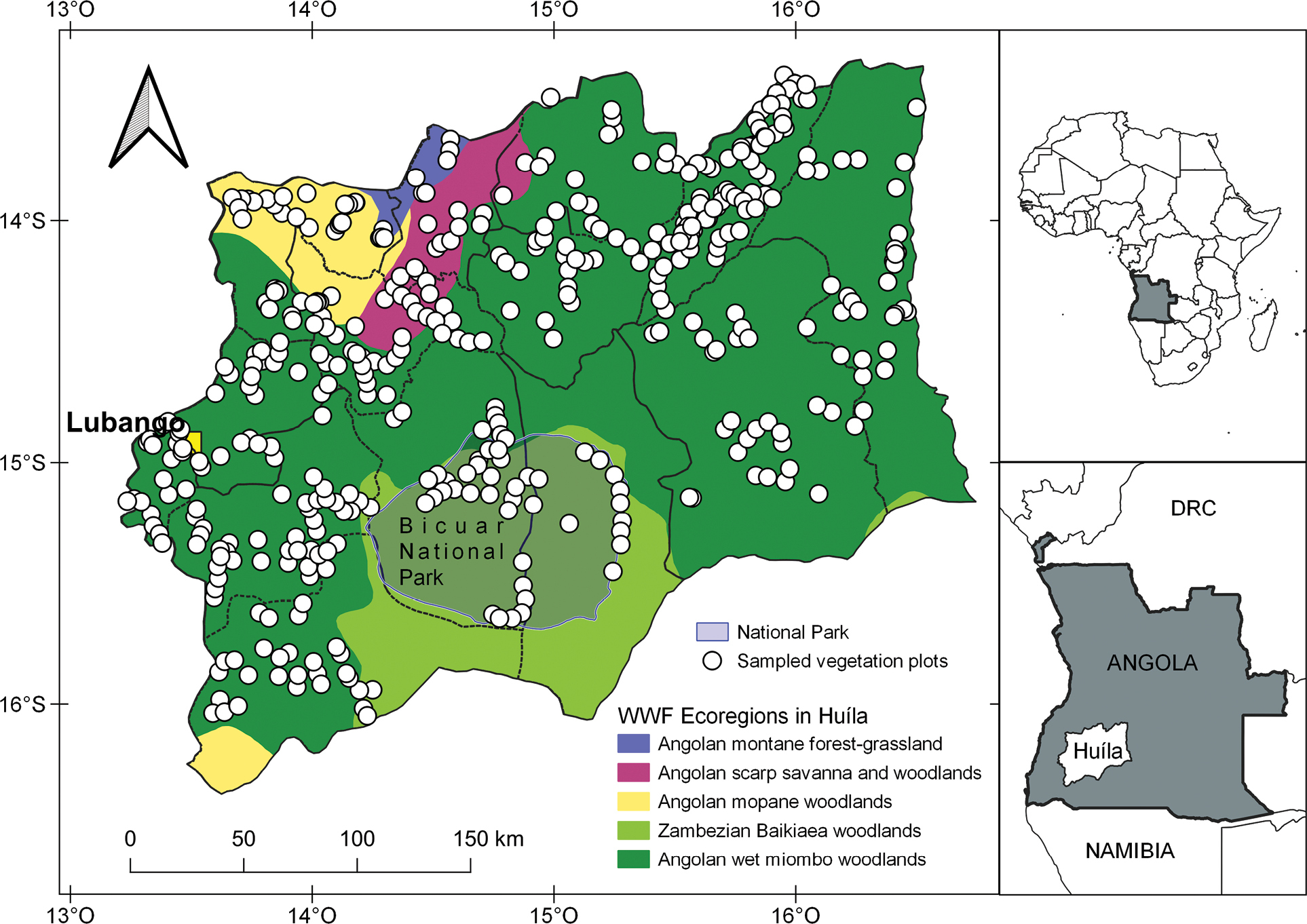
Map of Huíla province with municipalities (sub-polygons), ecoregions (color surfaces), and the location of the vegetation relevés (white dots) stored in the database. |
|
||||||||
| Part of: Gonçalves FMP, Chisingui AV, Luís JC, Rafael MFF, Tchamba JJ, Cachissapa MJ, Caluvino IMC, Bambi BR, Alexandre JLM, Chissingui MD.G, Manuel SKA, Jacinto HD, Finckh M, Meller P, Jürgens N, Revermann R (2021) First vegetation-plot database of woody species from Huíla province, SW Angola. Vegetation Classification and Survey 2: 109-116. https://doi.org/10.3897/VCS/2021/68916 |