|
||
|
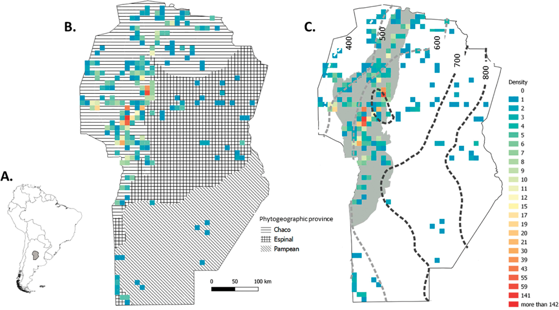
Location of Córdoba province in Argentina and South America (A). Density grid map showing the number of vegetation plots located in the different phytogeographic provinces (based on Oyarzabal et al. 2018) (B) and in plains (white) and mountains (grey) with dotted lines joining points with the same annual precipitation (C) of Córdoba province. Legend for the colour code is the same for (B) and (C). |