|
||
|
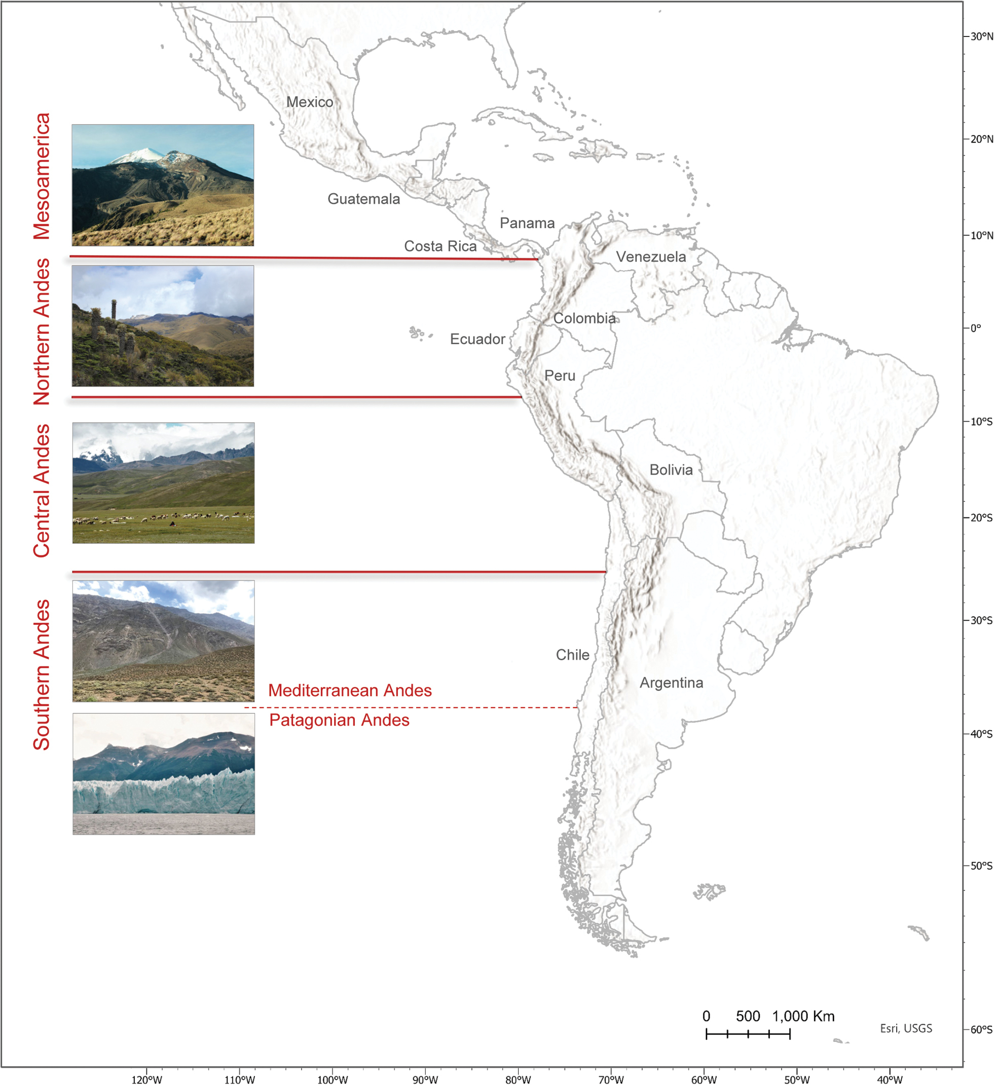
Topographic map of Latin America, with focus on mountain areas and their division into four main biogeographical provinces, Mesoamerica (photo: Pico de Orizaba, Mexico, credit G.P.), Northern Andes (photo: Nevado Santa Isabel, Colombia, credit G.P.), Central Andes (photo: Macusani, Peru, credit A.G.M.), and Southern Andes. The latter province can be divided into two main regions, the Mediterranean Andes (photo: Tacora, Chile, credit F.L.) and Patagonian Andes (photo: El Calafate, Argentina, credit A.G.M.). The map indicates names for those countries with highlands covered by the VegAndes vegetation data. |